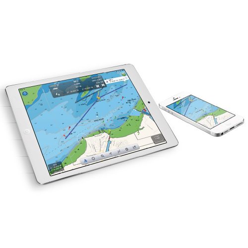
Discover our navigation app specially designed for your iPad, iPhone or Android. Tablet and Smartphone navigation also gives the user the ability to greatly improve their electronic system and utilise a navigation system with unlimited functions. If a chart plotter is already owned, customers can connect their existing plotter system to a product that will broadcast NMEA data wirelessly.
In addition to navigation and cartography, having an iPad, Tablet or Smartphone on board allows you to connect to the internet (if you have access) and therefore check your emails, surf the internet, Youtube, Facebook, etc.
Showing all 2 resultsSorted by price: low to high
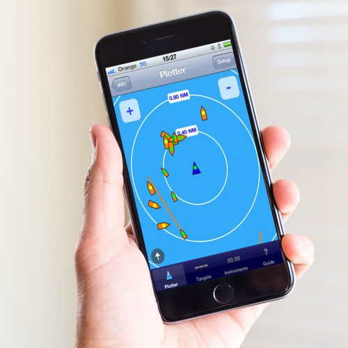
iAIS application
“iAIS is a simple AIS target plotter designed for use with Digital Yachts AIS with WiFi or any of our other Wireless NMEA products if they are connected to an AIS system.”