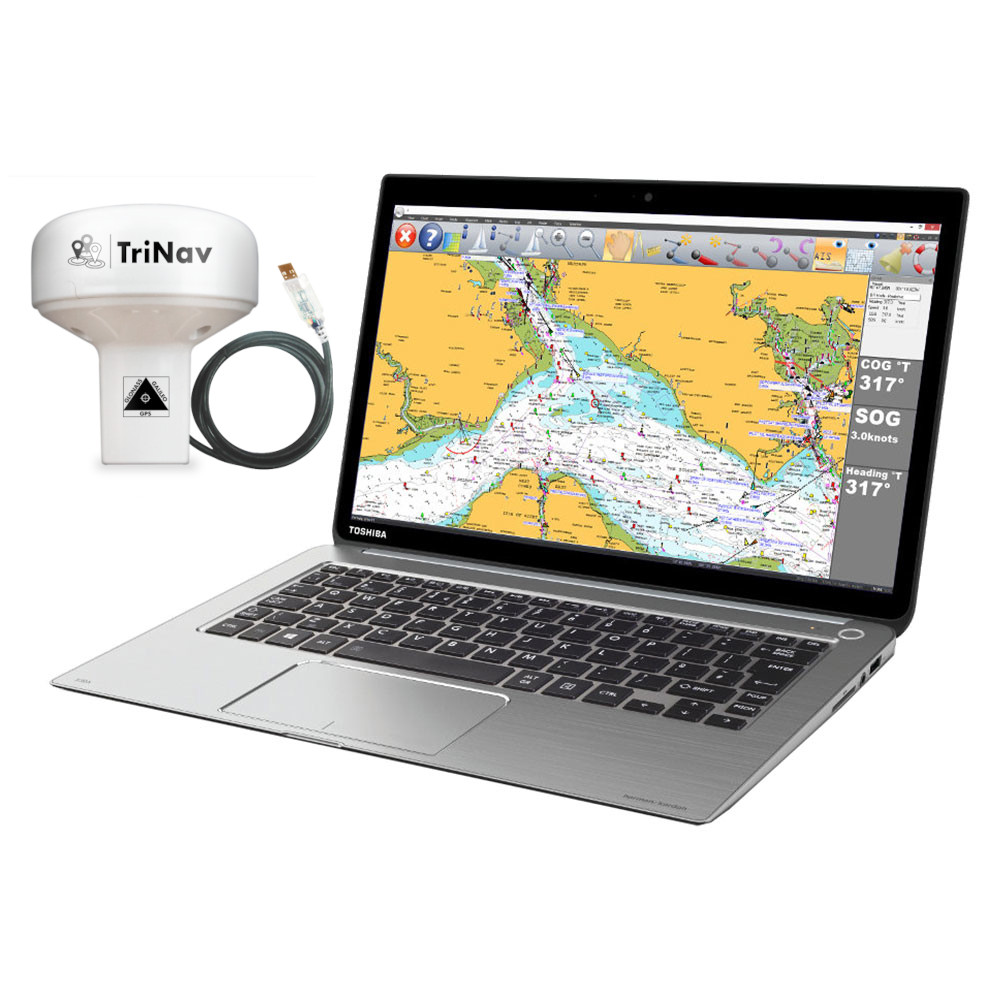
SmarterTrack Express marine navigation software is a new navigation package that will turn a Windows notebook into a full function electronic charting system. It ships with a high performance TriNav (GPS, GLONASS & GALILEO) position sensor which is self powered from the PC’s USB port. Simply install the software and you will transform your notebook into an easy to use yet very powerful chart plotter.
TriNav technology uses GPS, GLONASS and the European Galileo system for ultra precise (typically sub 1m) accuracy. Fast 18Hz updates also allow the display of much smoother track and heading data. You’ll also benefit from redundancy with position from two independent satellite systems. If you require, the sensor can also be permanently mounted on board the vessel.
All the normal navigation functions are also of use from the SmarterTrack application including waypoints, routes and tracks. It supports weather and AIS target overlays and alarms with a connection to an AIS. The user interface has a design for either touch screen operation or the common mouse/trackpad control. It works on PCs using any version of Windows from XP forward to the latest Windows 8.1 and Windows 10 and Windows 11 systems.
SmarterTrack is able to use Navionic’s charts for worldwide, detailed charting. Charts can be copied from their normal SD format onto the PC hard drive and then also used in compatible chart plotters from brands like Raymarine, Lowrance, B&G, Humminbird and Simrad. Therefore allowing for a combo package of plotter and PC on-board.
Moreover, its portability is ideal for use by charter skippers. This allows them to turn their laptop into a large screen format plotter at a fraction of the cost of a dedicated device. It’s also popular with commercial users, superyacht captains and delivery crew. Also boaters looking for a good value, big screen navigation solution.
 United States
 United Kingdom
 France
 Europe
 Germany
 Australia
 Spain
Spain Italy
Italy


